Blue hour at Camp II
The cloud floor dropped below the basin while the eastern ridge arrived as a charcoal cutout.
Read observationExpedition 04 / Autumn line / 07–10 October
A complete record of four days above timberline: route decisions, instruments, weather, equipment, and the observations that changed the plan.
Explore the route mapParty: E. Morrow / S. Vale / K. Ibarra
Objective: North ridge atmospheric transect
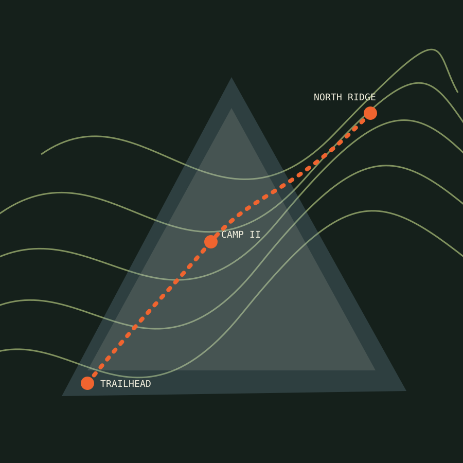
Three decisions / one route
Field documentation is useful when it preserves uncertainty. These entries connect each observation to the location, weather, equipment, and decision it affected.
The cloud floor dropped below the basin while the eastern ridge arrived as a charcoal cutout.
Read observationWind crossed the turnaround threshold before the party reached the final pitch.
Read decisionThe return crossing remained below the orange mark, with the bridge sensor clear.
Read field note